Story map gallery
You can scroll through a collection of all story maps in our website, or you can click one of the topic buttons for storymaps in that topic.
If none of the storymaps you are interested in are currently on this website, the bottom of the page has two links that will take you to ESRI's storymap galleries, so you can look for storymaps you are interested in.
If none of the storymaps you are interested in are currently on this website, the bottom of the page has two links that will take you to ESRI's storymap galleries, so you can look for storymaps you are interested in.

|
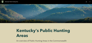
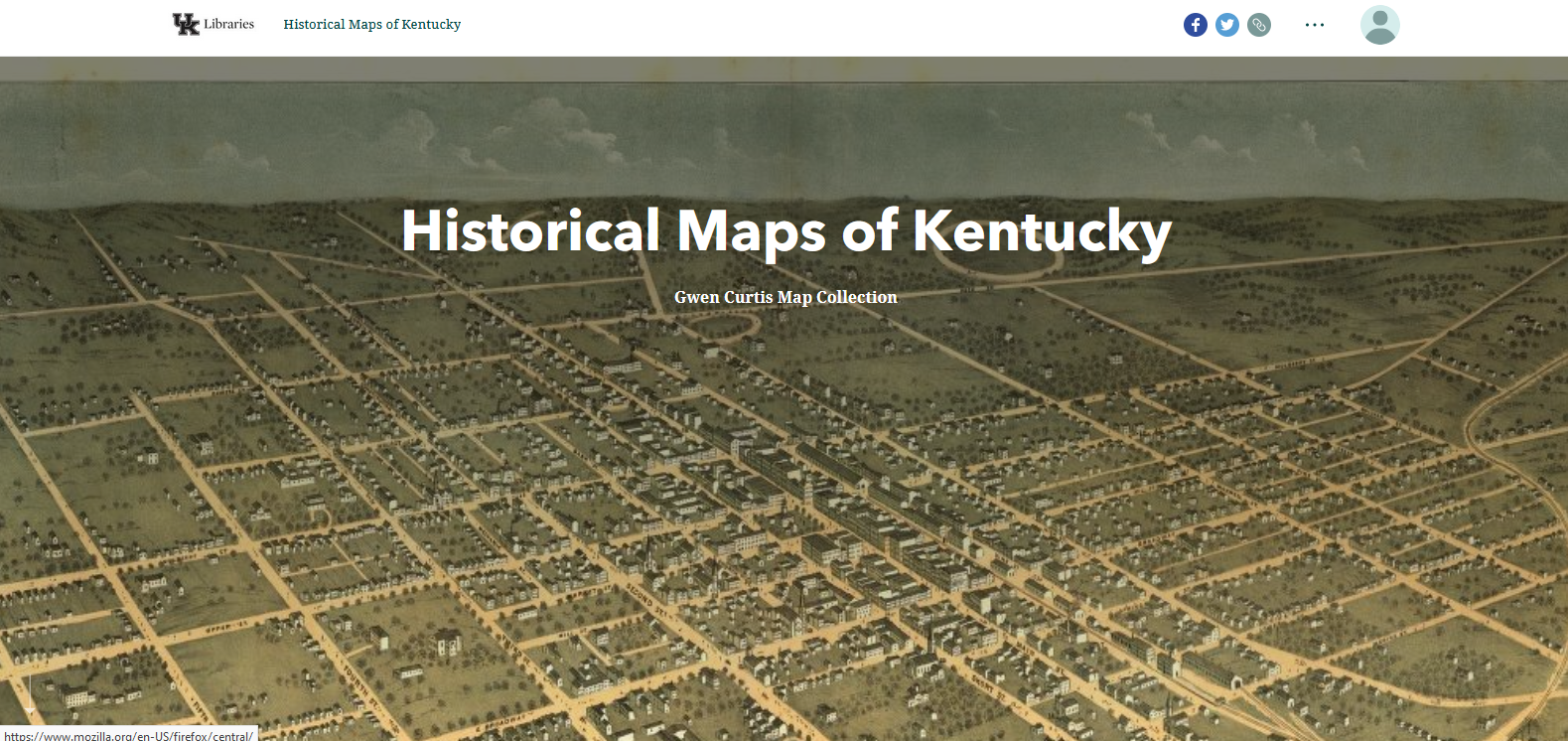
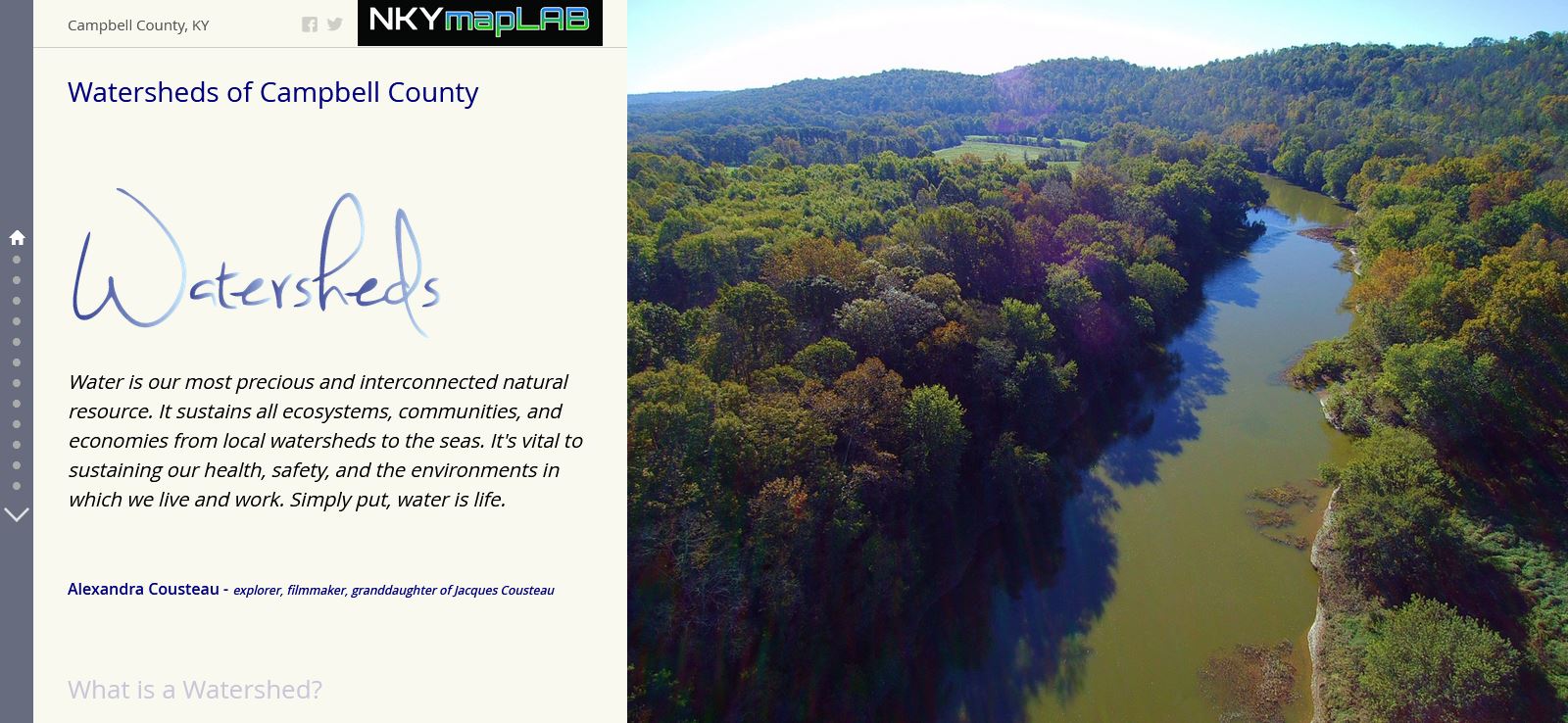
Kentucky's Public Hunting Areas
A Kentucky Story Map by DGI & KDFWR Click here to view this story map |
|
|
|
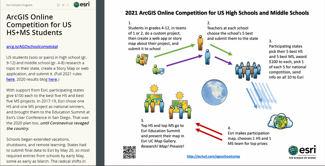
ArcGIS Online Competition for US HS & MS Students
ESRI Schools Program Click here to view this story map |
|

|
|
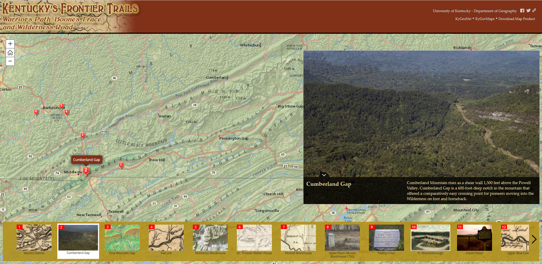
Kentucky's Frontier Trails
University of Kentucky Department of Geography Click here to view this story map |
|
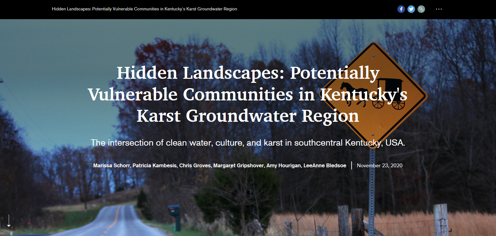
Hidden Landscapes: Potentially Vulnerable Communities in Kentucky's Karst Groundwater Region
Marissa Schorr, Patricia Kambesis, Chris Groves, Margaret Gripshover, Amy Hourigan, LeeAnne Bledsoe Click here to view this story map |
|

|
A Scene of Ruin: The 1980 Louisville Tornado
Nate DeSpain, Tom Reaugh Click here to view this story map
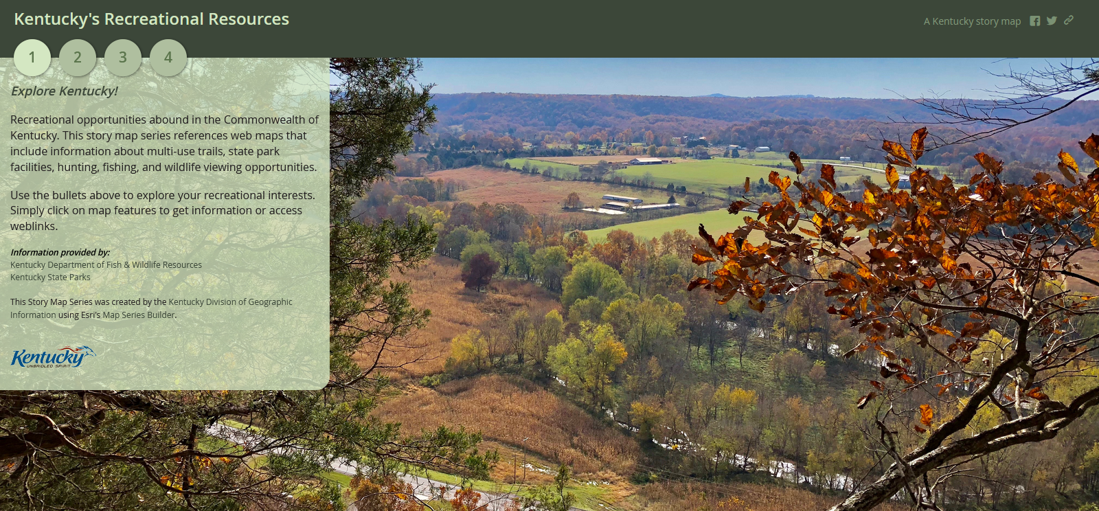
Kentucky's Recreational Resources
Kentucky Division of Geographic Information Click here to view this story map |


|
Louisville Equal Rights Association: Women's Suffrage in Louisville, Kentucky
LeeAnn Whites, Andrew Fialka, Alexis Doerr, Ann Taylor Allen, Carol Mattingly, T'Nia Shakir Fuller Click here to view this story map African American Women and Suffrage in Louisville
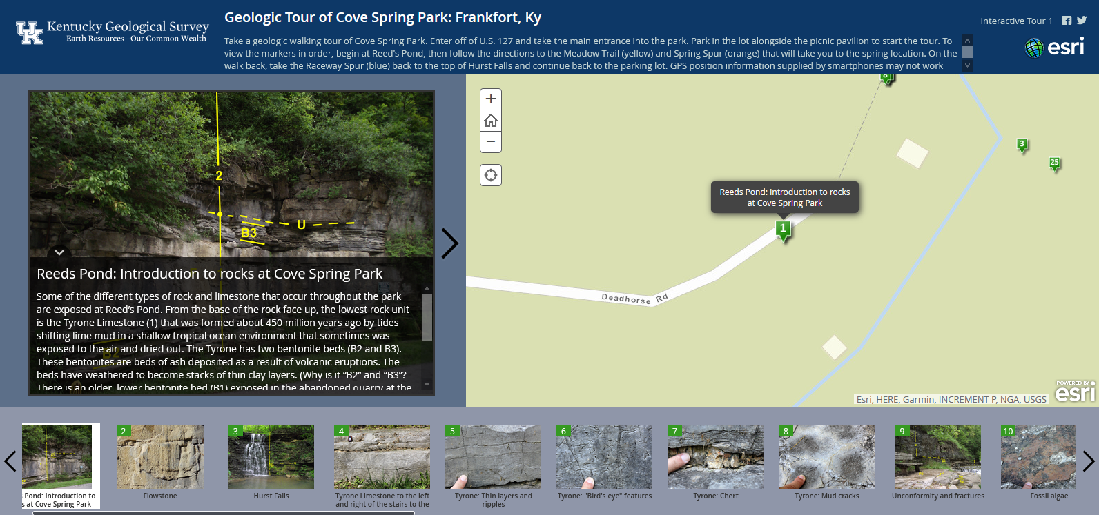
Carol Mattingly, Emily Barrett, University of Louisville, Codi Nicole Goodwyn, Lenora Jordan, T’Nia Shakir Fuller, Alexis Doerr, Juanita White Click here to view this story map Geologic Tour of Cave Spring Park: Frankfort, KY
Kentucky Geologic Survey Click here to view this story map |


|
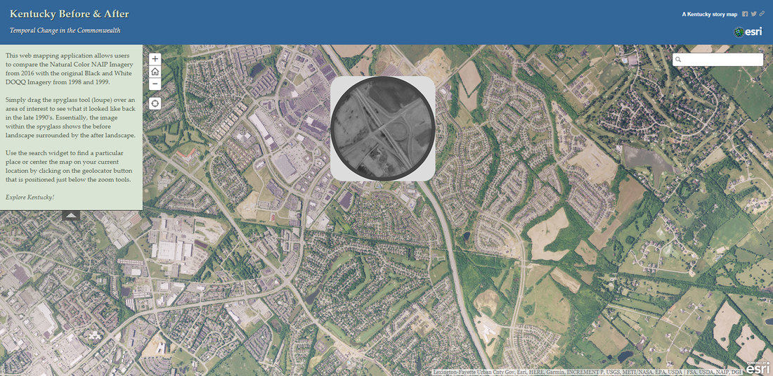
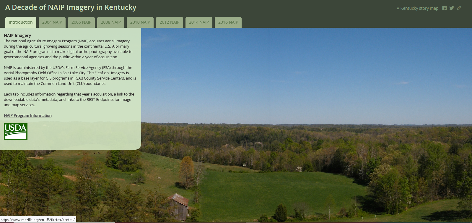
A Decade of NAIP Imagery in Kentucky
Kentucky Division of Geographic Information Click here to view this story map Geologic Tour for Parklands of Floyds Fork, KY
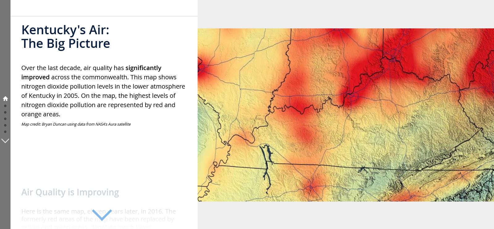
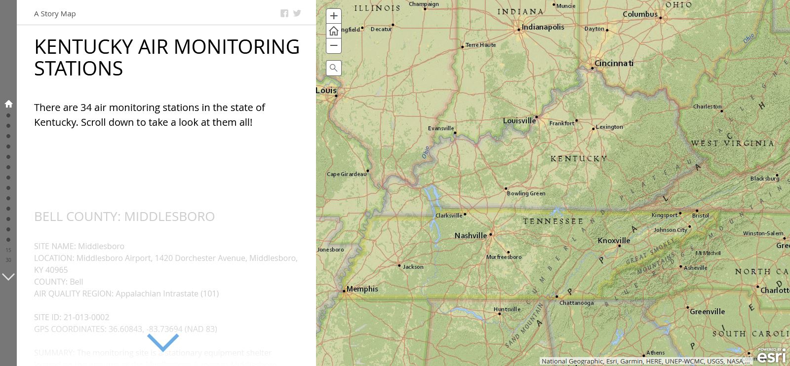
Steven L. Martin and Doug C. Curl Click here to view this story map How Clean is Our Air: Measuring Air Quality in Kentucky
Roberta Burnes Click here to view this story map Kentucky Geological Survey: 2019-2020 Annual Report
Kentucky Geological Survey Click here to view this story map Jumping into Kentucky: Asian Carp in the Bluegrass State
Emily Woodward Click here to view this story map Writing Home: A Road Trip Across Kentucky Visiting the Hometowns of the Commonwealth's Greatest Writers
Cameron Luker Click here to view this story map |

|
Northern Kentucky Health Department Tackles the Opioid Epidemic
ESRI Health and Human Services Team Click here to view this story map |

|
Win, Place or Show: The Triple Crown of American Thoroughbred Racing
EntertainMaps Click here to view this story map |
|

|
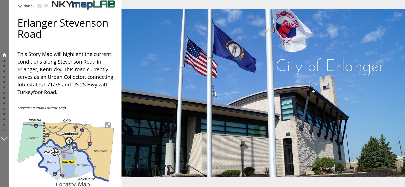
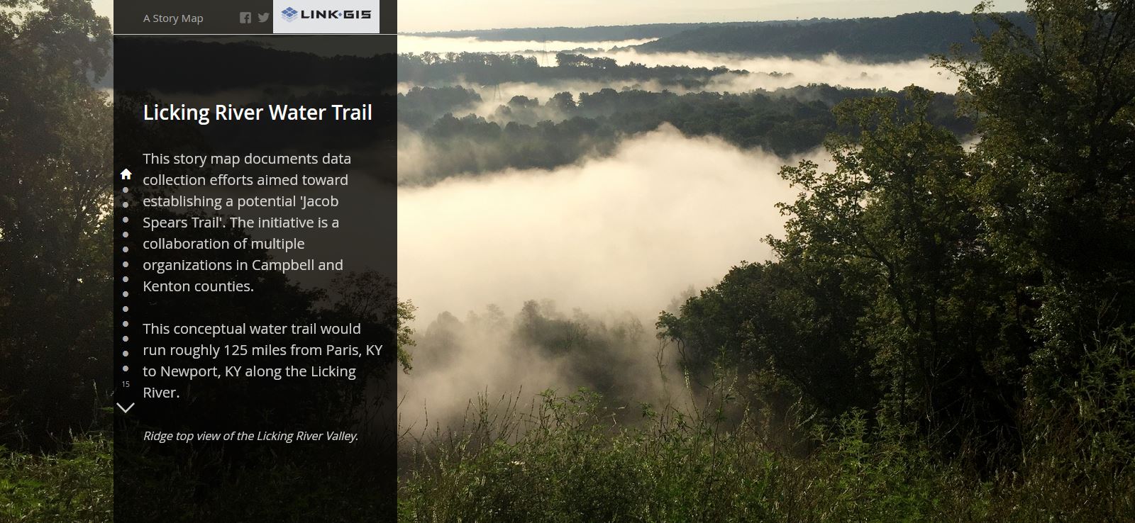
Walkability: Sidewalk Connectivity in Kenton County (March 2015)
Link-GIS Click here to view this story map |

|
|

|
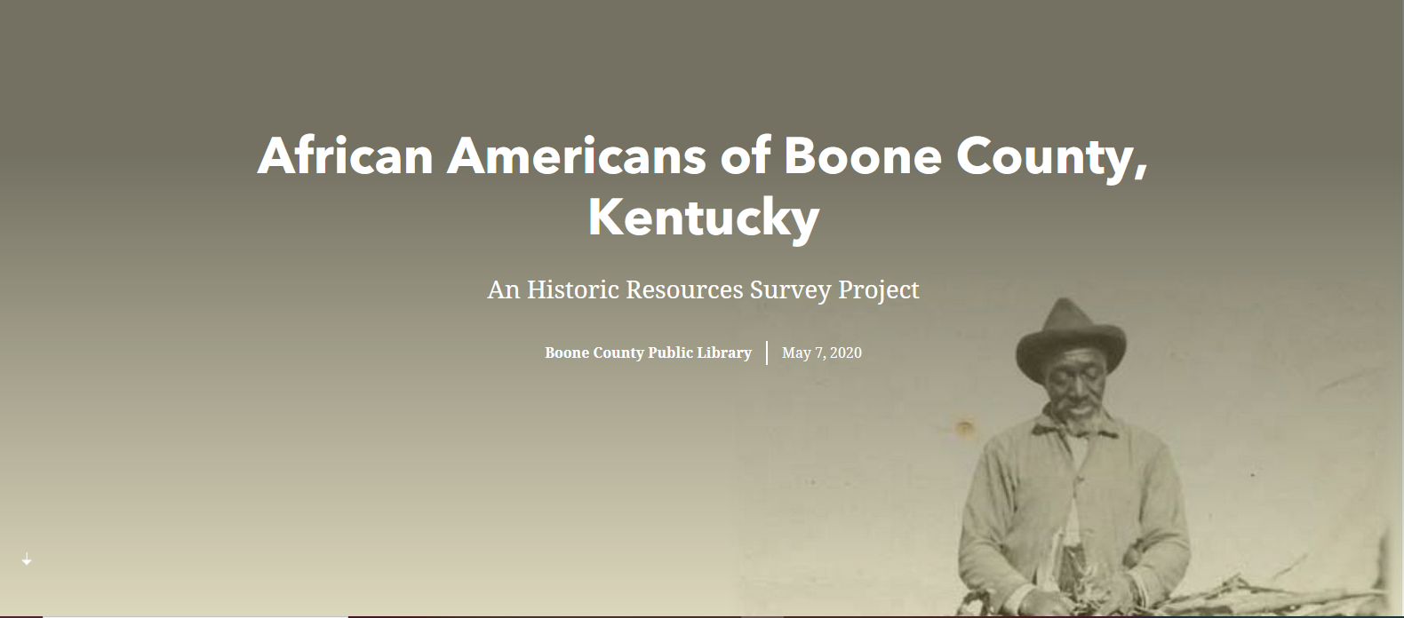
The 1847 Michigan Slaves Rescues
Bridget Striker, Boone County Public Library Click here to view this story map |
|
|
|
|
|
|
|

|
|

|
|
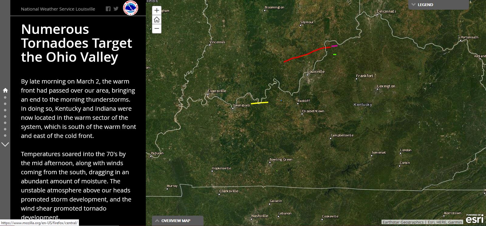
Numerous Tornadoes Target the Ohio Valley
National Weather Service Louisville Click here to view this story map |
|
|
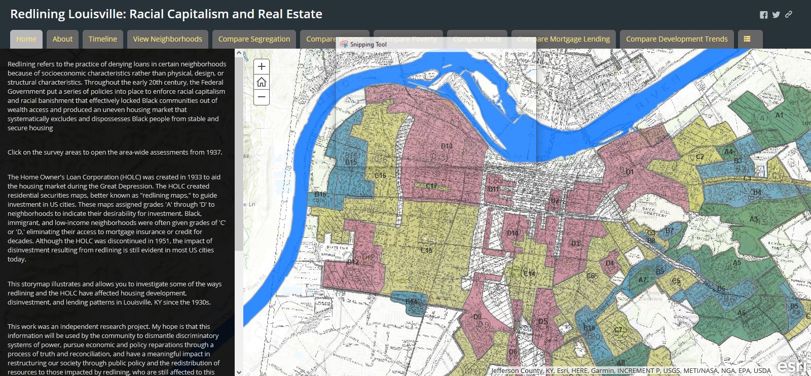
Redlining Louisville: Racial Capitalism and Real Estate
Louisville Metro Click here to view this story map |
|
|
|
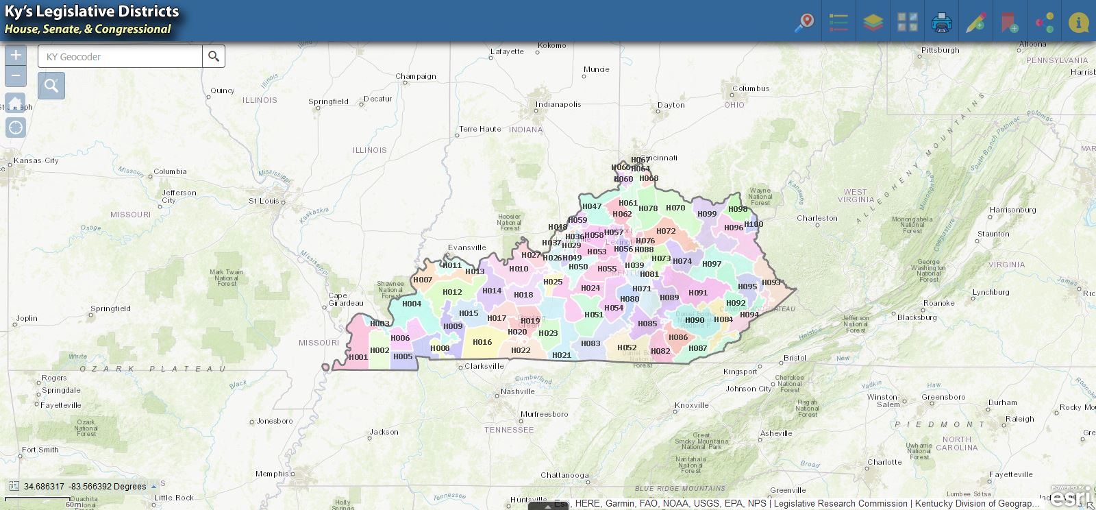
Kentucky's Legislative Districts
Kentucky Division of Geographic Information Click here to view this story map |
|
|
|
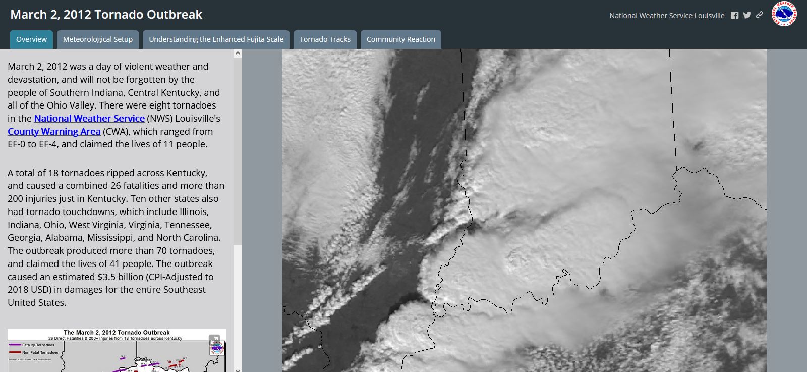
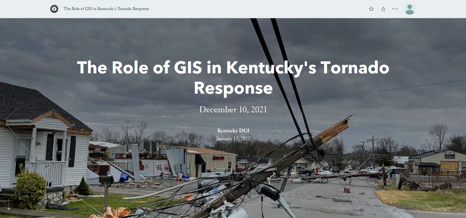
The Role of GIS in Kentucky's Tornado Response
Kentucky Division of Geographic Information Click here to view this story map |
|
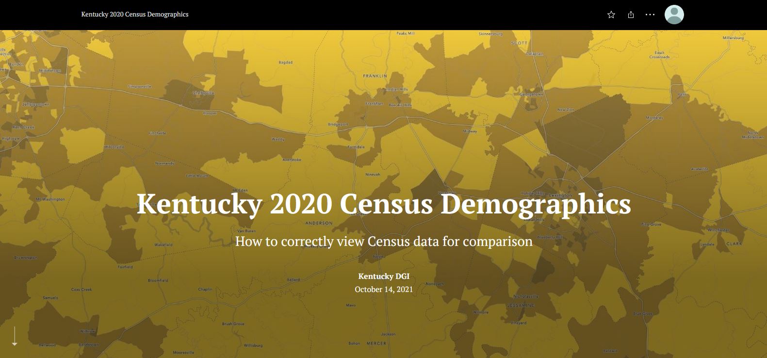
Kentucky 2020 Census Demographics
Kentucky Division of Geographic Information Click here to view this story map |
|
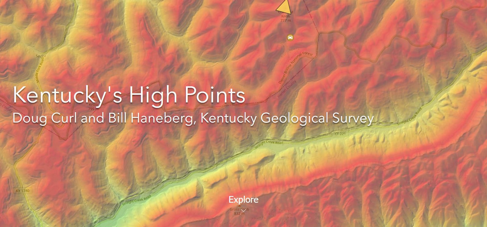
Kentucky's High Points
Doug Curl and Bill Haneberg, Kentucky Geological Survey Click here to view this story map |
|
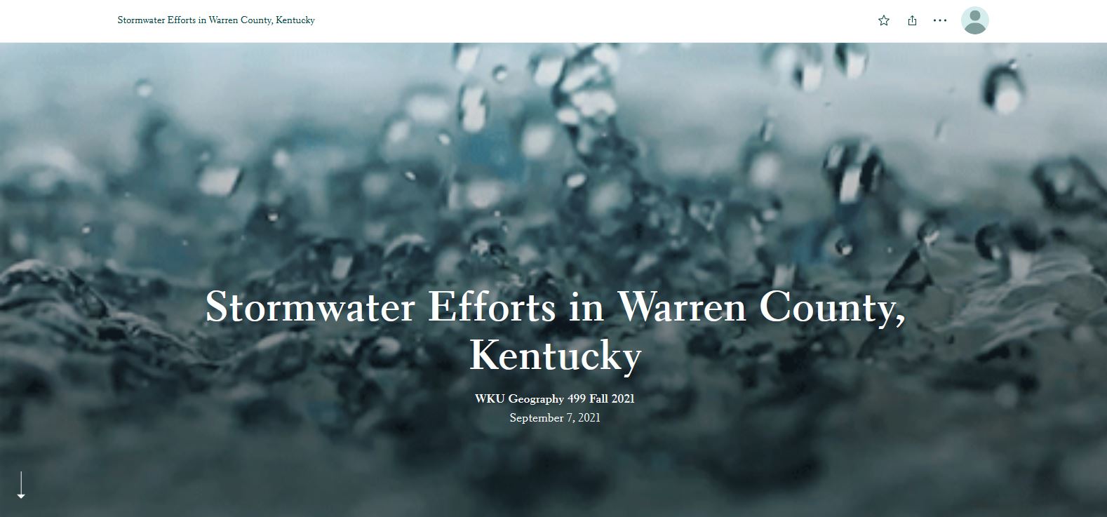
Stormwater Efforts in Warren County, Kentucky
WKU Geography 499 Fall 2021 Click here to view this story map |
|
|
|
Top 15 Local Weather Events of 2010-2019 in Southern Indiana and Central Kentucky
NWS Louisville Click here to view this story map |
|
|
Forests of Kentucky, 2013
USDA Forest Service, Southern Research Station Click here to view this story map |
|
|
|
|
|
|
|
|
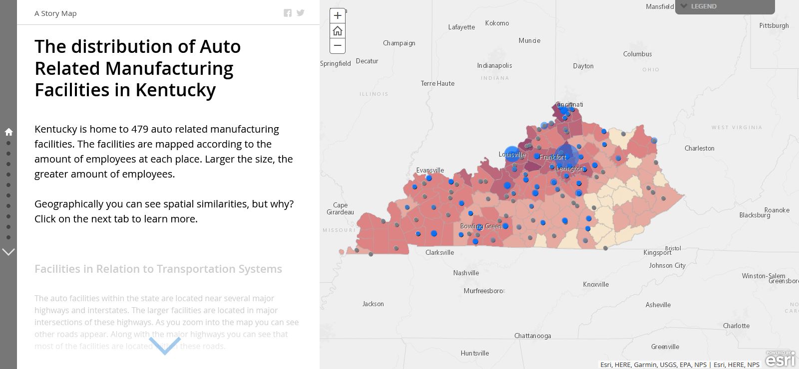
The Distribution of Auto Related Manufacturing Facilities in Kentucky
KGA GIS Click here to view this story map |
|
|
|
|
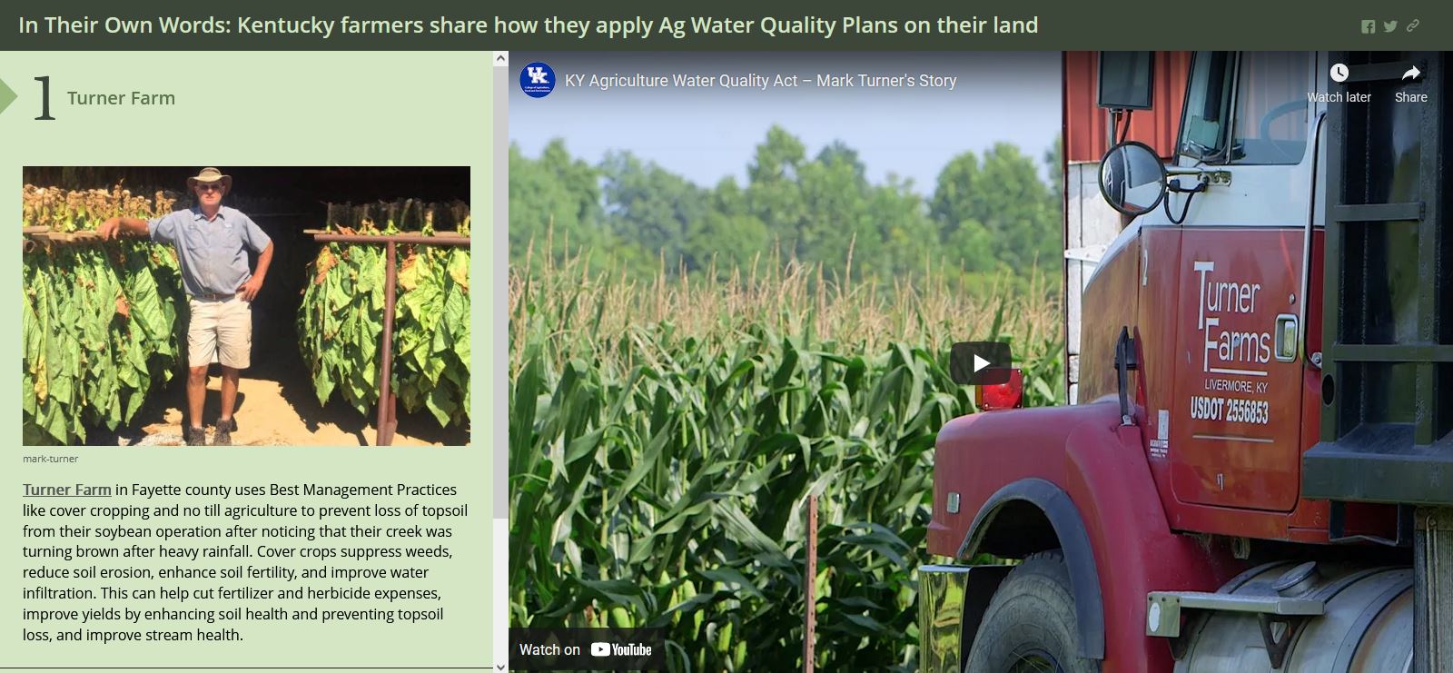
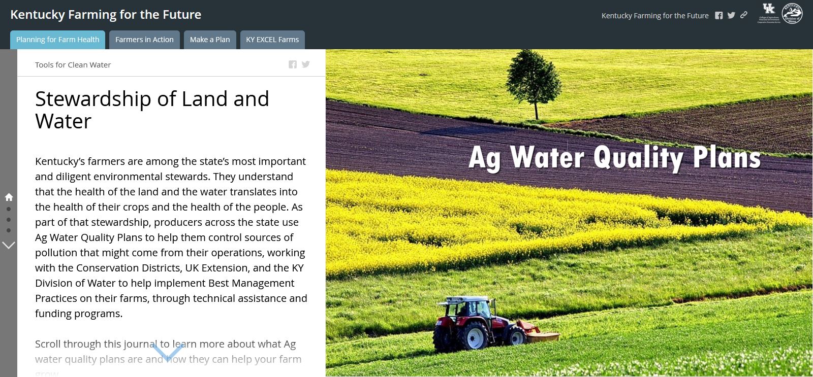
In Their Own Words: Kentucky Farmers Share How They Apply Ag Water Quality Plans on Their Land
Dale Booth Click here to view this story map |
|
|
|
|
|
|