• Home
  • About Us
  • Teacher Resources
  • Story Map Gallery
  • GIS in the Classroom
  • 2024 ArcGIS Online Competition!
  • GIS Storymap FUNdamentals Certificate
  • Kentucky Giant Map
  • Student Opportunities
  • Join Us
KENTUCKY GEOGRAPHIC ALLIANCE

Environmental Story map gallery

Picture
Picture
Stormwater Solutions Tour
Bluegrass Greensource
Click here to view this story map
KyFromAbove-Elevation
Kentucky Division of Geographic Information
Click here to view this story map
Picture
Picture
Picture
Picture
Picture
Kentucky's Climate During the Civil War
Kevin Cary, Glen Conner
Click here to view this story map
KyFromAbove-Imagery
Kentucky Division of Geographic Information
Click here to view this story map
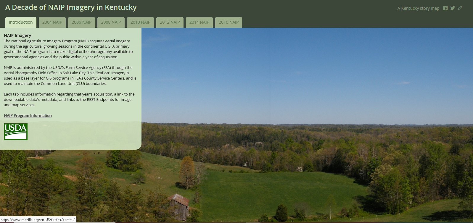
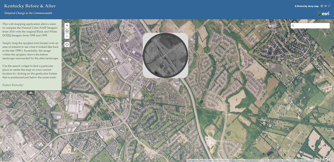
A Decade of NAIP Imagery in Kentucky
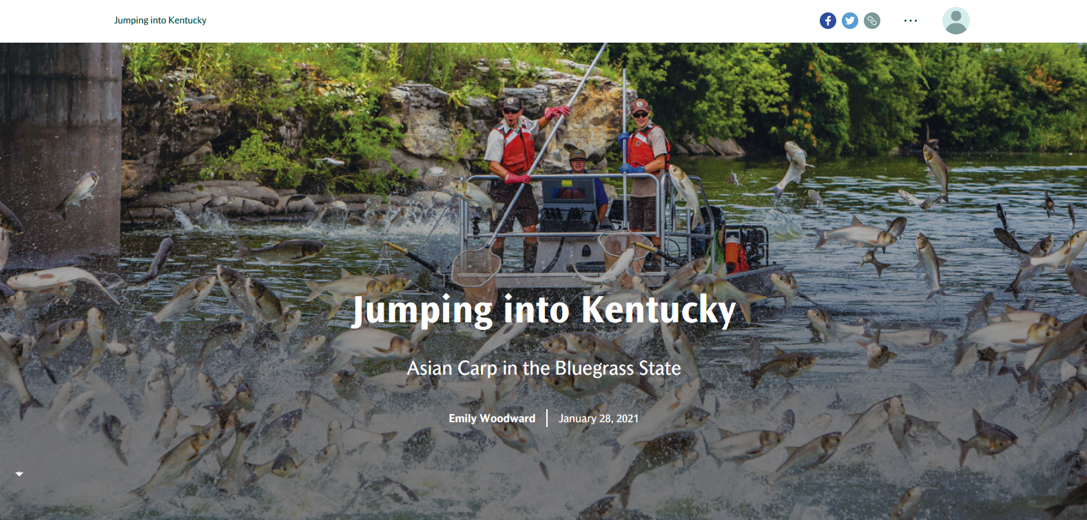
Kentucky Division of Geographic Information
Click here to view this story map
Jumping into Kentucky: Asian Carp in the Bluegrass State
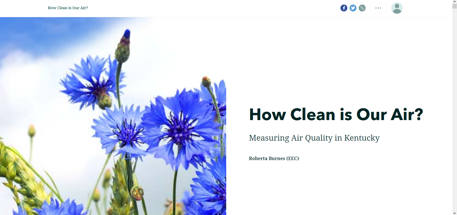
Emily Woodward
Click here to view this story map
How Clean is Our Air: Measuring Air Quality in Kentucky
Roberta Burnes
Click here to view this story map
Picture
Recycling Plastics in Kentucky
Jennifer Van Antwerp 
Click here to view this story map
Picture
Kentucky Before & After
Kentucky Geonet
Click here to view this story map
Picture
Kentucky's State Forests
Kentucky Division of Forestry 
Click here to view this story map
Picture
Kentucky's Frontier Trails
University of Kentucky Department of Geography
Click here to view this story map

Picture
Hidden Landscapes: Potentially Vulnerable Communities in Kentucky's Karst Groundwater Region
Marissa Schorr, Patricia Kambesis, Chris Groves, Margaret Gripshover, Amy Hourigan,
LeeAnne Bledsoe
Click here to view this story map
Picture

Mammoth Cave Biosphere Region
Marissa Schorr
Click here to view this story map
Picture
Picture
Kentucky's Recreational Resources
Kentucky Division of Geographic Information
Click here to view this story map
Endangered Species of Kentucky 2020
Matthew Dixon
Click here to view this story map
Picture
Flooding From February 26-March 4, 2021 in Kentucky
Grace Herrmann
Click here to view this story map
Picture
Parks of Kenton County
NKYmapLAB
Click here to view this story map
Picture
Watersheds of Kenton County
NKYmapLAB
Click here to view this story map
Picture
Watersheds of Campbell County
NKYmapLAB
Click here to view this story map
Picture
Licking River Water Trail
Link-GIS
Click here to view this story map
Picture
Kentucky Pollinators
Kentucky Transportation Department
Click here to view this story map
Picture
Stormwater Efforts in Warren County, Kentucky
WKU Geography 499 Fall 2021
Click here to view this story map
Picture
Kentucky River Watershed
Malissa McAllister
Click here to view this story map
Picture
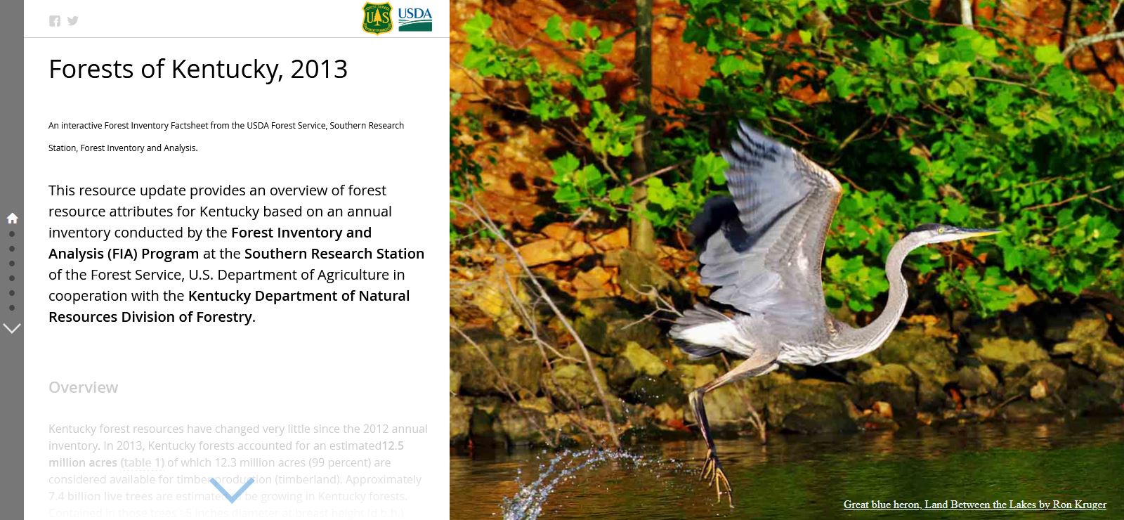
Forests of Kentucky, 2013
USDA Forest Service, Southern Research Station
Click here to view this story map
Picture
Wetland Story Map
Melissa Miracle
Click here to view this story map
Picture
Wild Rivers Story Map
Melissa Miracle
Click here to view this story map
Picture
Kentucky Nighttime Tornadoes 1987-2017
Scott Dobler
Click here to view this story map
Picture
Ecoregions of the Commonwealth of Kentucky
KGA GIS
Click here to view this story map
Picture
Kentucky Air Monitoring Stations
Briba Resel
Click here to view this story map
Picture
Kentucky's Air: The Big Picture
Roberta Burnes
Click here to view this story map
Picture

Email

[email protected]
Join the KGA!