• Home
  • About Us
  • Teacher Resources
  • Story Map Gallery
  • GIS in the Classroom
  • 2024 ArcGIS Online Competition!
  • GIS Storymap FUNdamentals Certificate
  • Kentucky Giant Map
  • Student Opportunities
  • Join Us
KENTUCKY GEOGRAPHIC ALLIANCE

Weather Story map gallery

Picture
Kentucky's Climate During the Civil War
Kevin Cary, Glen Conner
Click here to view this story map
Picture
A Scene of Ruin: The 1980 Louisville Tornado
Nate DeSpain, Tom Reaugh
Click here to view this story map
Picture
Flooding From February 26-March 4, 2021 in Kentucky
Grace Herrmann
Click here to view this story map
Picture
Comparison of Cold Weather Events in Kentucky
Scott Dobler
Click here to view this story map
Picture
2012 Tornado-Kenton County, Kentucky
NKYmapLAB
Click here to view this story map
Picture
2021 Severe Weather Climatology-NWS Paducah, KY
NWS Paducah
Click here to view this story map
Picture
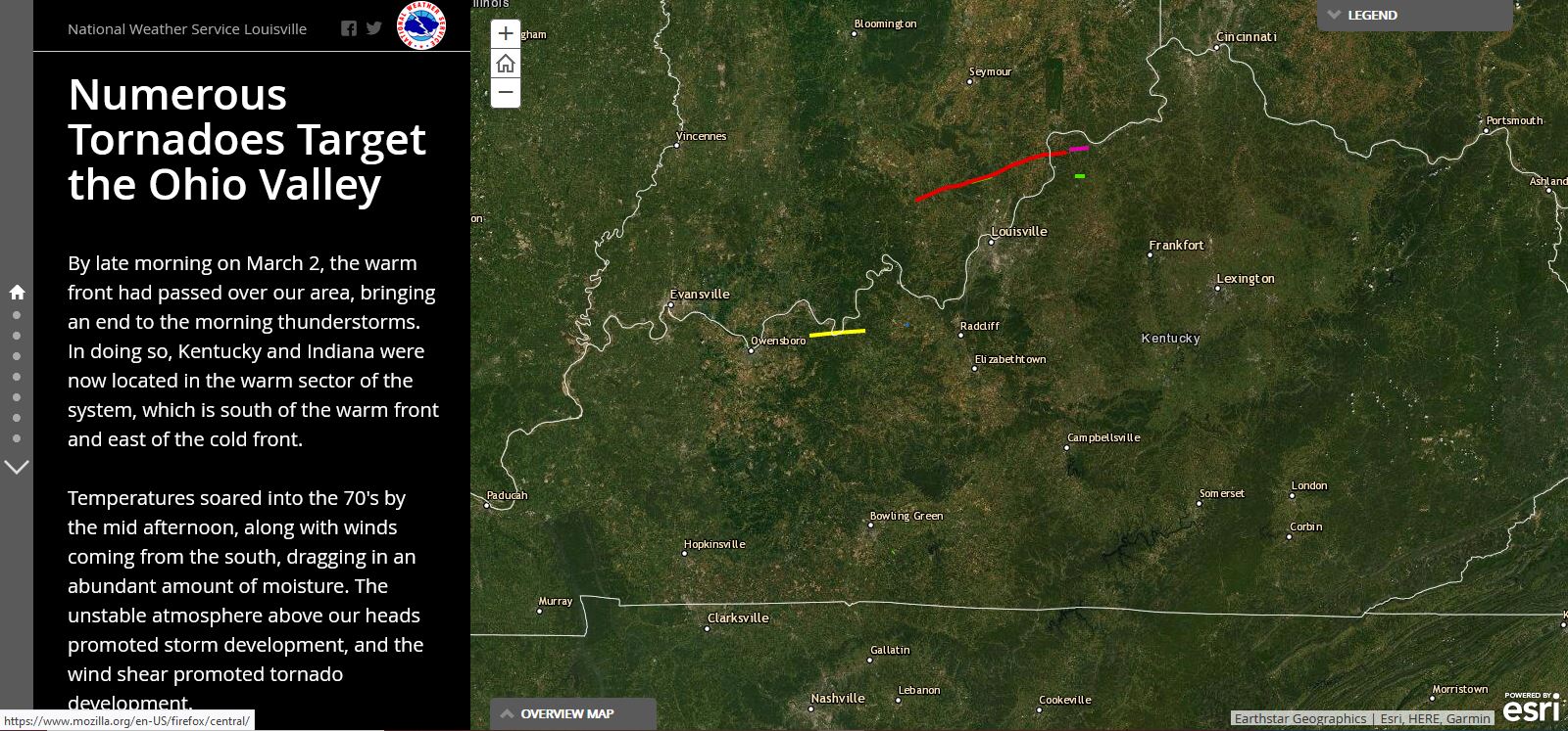
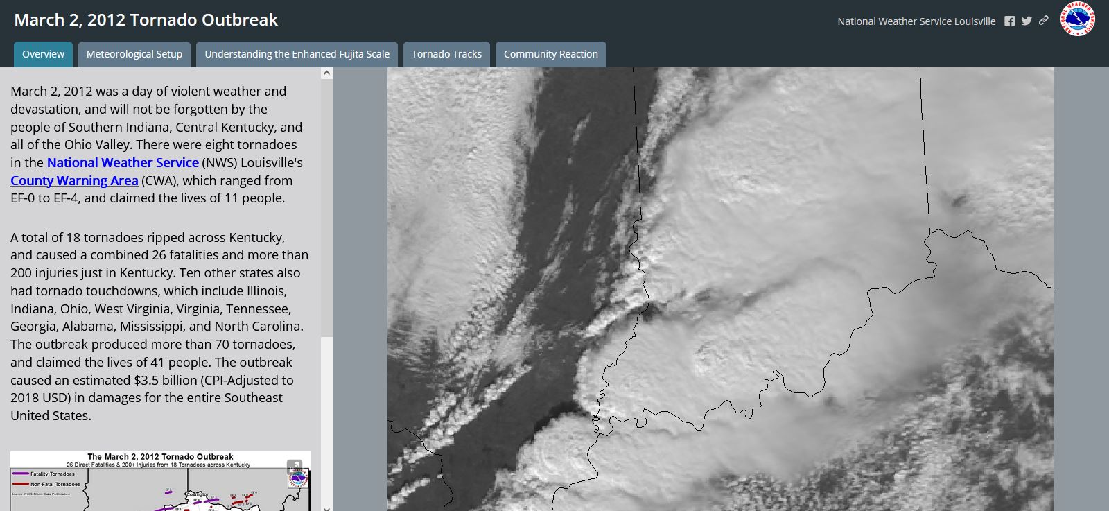
Numerous Tornadoes Target the Ohio Valley
National Weather Service Louisville
Click here to view this story map
Picture
March 2, 2012 Tornado Outbreak
National Weather Service Louisville
Click here to view this story map
Picture
The Role of GIS in Kentucky's Tornado Response
Kentucky Division of Geographic Information
Click here to view this story map
Picture
Hail Climatology for NWS Paducah, KY (1.75" + diameter)
NWS Paducah
Click here to view this story map
Picture
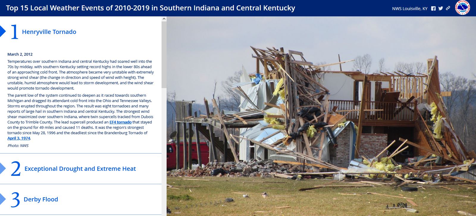
Top 15 Local Weather Events of 2010-2019 in Southern Indiana and Central Kentucky
NWS Louisville
Click here to view this story map
Picture
2012 Drought in Kentucky
Kentucky Mesonet
Click here to view this story map
Picture
Louisville Metro Flash Flood Impacts
NWS Louisville
Click here to view this story map
Picture
August 4, 2009 Flash Flood
NWS Louisville
Click here to view this story map
Picture
Using GIS for Precipitation Analysis in Kentucky
Scott Dobler
Click here to view this story map
Picture

Email

[email protected]
Join the KGA!