• Home
  • About Us
  • Teacher Resources
  • Story Map Gallery
  • GIS in the Classroom
  • 2024 ArcGIS Online Competition!
  • GIS Storymap FUNdamentals Certificate
  • Kentucky Giant Map
  • Student Opportunities
  • Join Us
KENTUCKY GEOGRAPHIC ALLIANCE

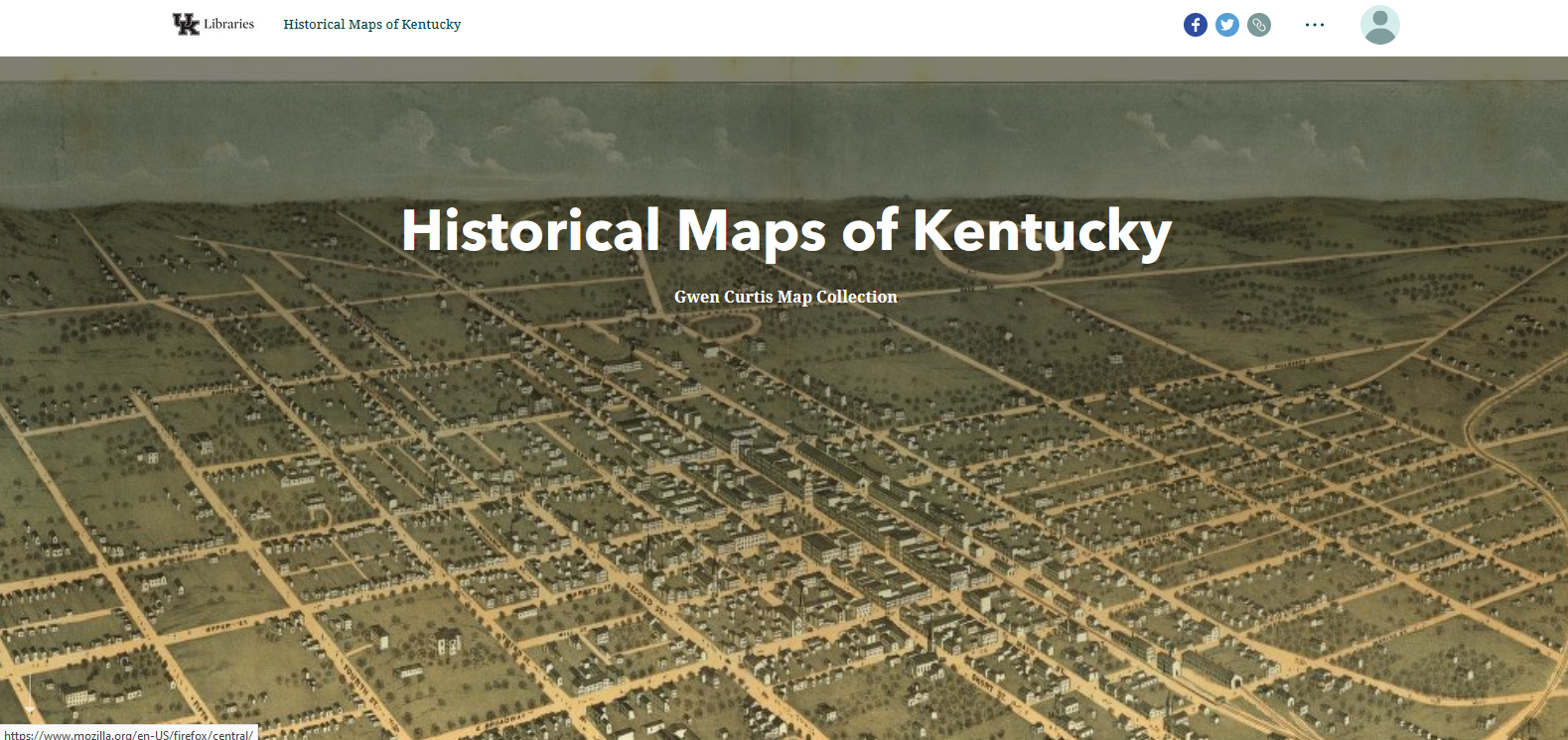
human/cultural Story map gallery

Picture
Kentucky's Climate During the Civil War
Kevin Cary, Glen Conner
Click here to view this story map
Picture
Recycling Plastics in Kentucky
Jennifer Van Antwerp 
Click here to view this story map
Picture
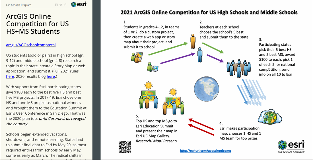
ArcGIS Online Competition for US HS & MS Students ​
ESRI Schools Program
Click here to view this story map
Picture
Picture
Picture
Picture
A Scene of Ruin: The 1980 Louisville Tornado
Nate DeSpain, Tom Reaugh
Click here to view this story map
African Americans of Boone County, Kentucky
Boone County Public Library
Click here to view this story map
Historic Big Bone
Boone County Public Library
Click here to view this story map
Kentucky Demographic Data (Created 2015)
Kimberly Anness
Click here to view this story map
Picture
Picture
Picture
Picture
Picture
Lost Louisville
University of Louisville Libraries
Click here to view this story map
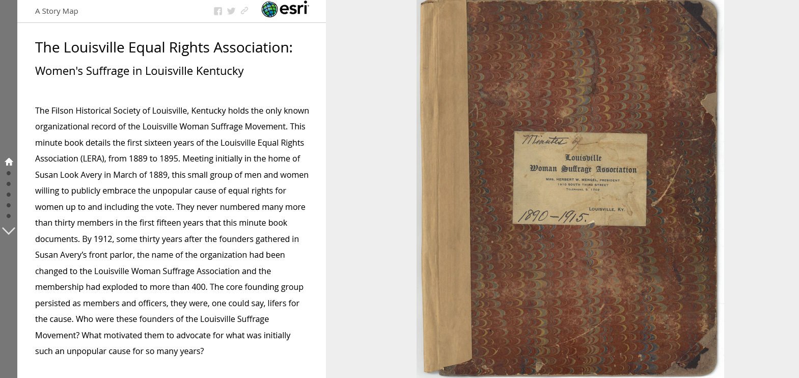
Louisville Equal Rights Association: Women's Suffrage in Louisville, Kentucky
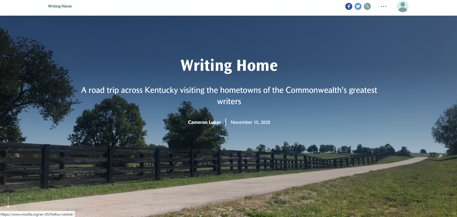
LeeAnn Whites, Andrew Fialka, Alexis Doerr, Ann Taylor Allen, Carol Mattingly,
T'Nia Shakir Fuller
Click here to view this story map
Writing Home: A Road Trip Across Kentucky Visiting the Hometowns of the Commonwealth's Greatest Writers
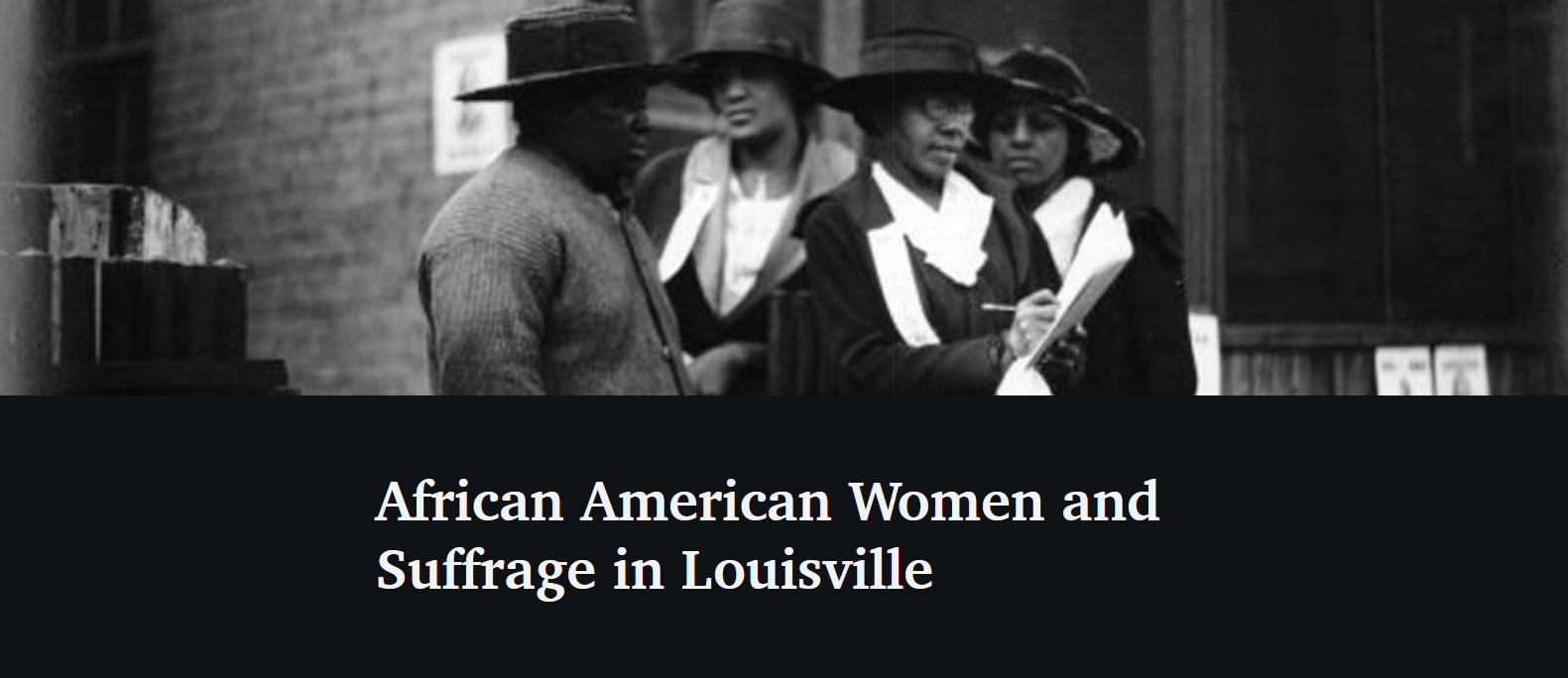
Cameron Luker
Click here to view this story map
African American Women and Suffrage in Louisville
Carol Mattingly, Emily Barrett, University of Louisville, Codi Nicole Goodwyn, Lenora Jordan,
T’Nia Shakir Fuller, Alexis Doerr, Juanita White
Click here to view this story map
Kentucky National Register Historic Landmarks
Kentucky Geonet
Click here to view this story map
Picture
Historical Maps of Kentucky
University of Kentucky Libraries
Click here to view this story map
Picture
Picture
History of Florence, Kentucky
Dillon Rhodus
Click here to view this story map
Bird's Invasion of Kentucky
Yungdae Ryu
Click here to view this story map
Picture
Northern Kentucky Health Department Tackles the Opioid Epidemic
ESRI Health and Human Services Team
Click here to view this story map
Picture
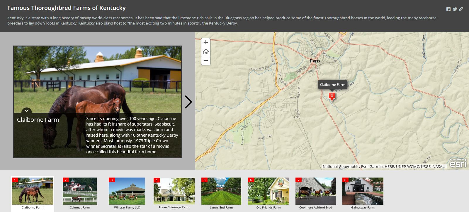
Win, Place or Show: The Triple Crown of American Thoroughbred Racing
EntertainMaps
Click here to view this story map
Picture
Covington
City of Covington
Click here to view this story map
Picture
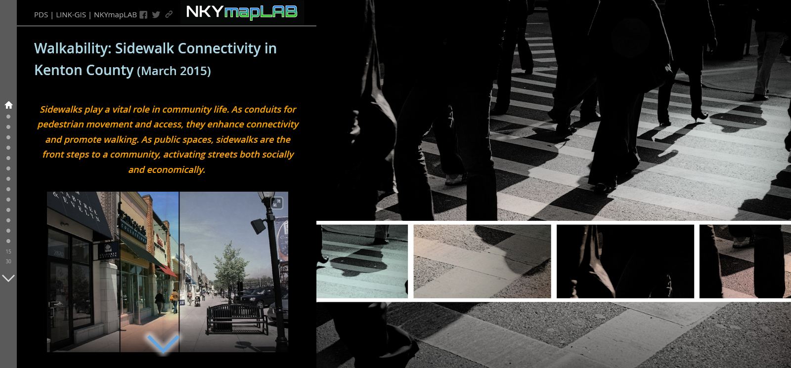
Walkability: Sidewalk Connectivity in Kenton County (March 2015)
Link-GIS
Click here to view this story map
Picture
PDS Drone Projects (in Kenton County)
Link-GIS
Click here to view this story map
Picture
Louisville Neighborhoods
Terry Niestadt
Click here to view this story map
Picture
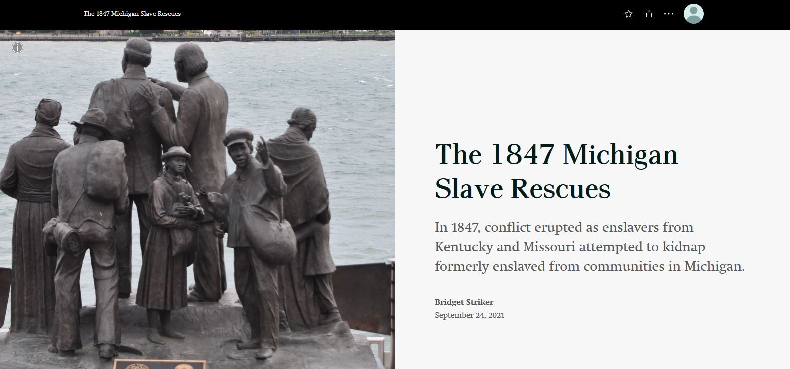
The 1847 Michigan Slaves Rescues
Bridget Striker, Boone County Public Library
Click here to view this story map
Picture
Erlanger-Stevenson Road
NKYmapLAB
Click here to view this story map
Picture
Linden Grove Cemetery and Arboretum
NKYmapLAB
Click here to view this story map
Picture
Farmer's Markets of NKY
NKYmapLAB
Click here to view this story map
Picture
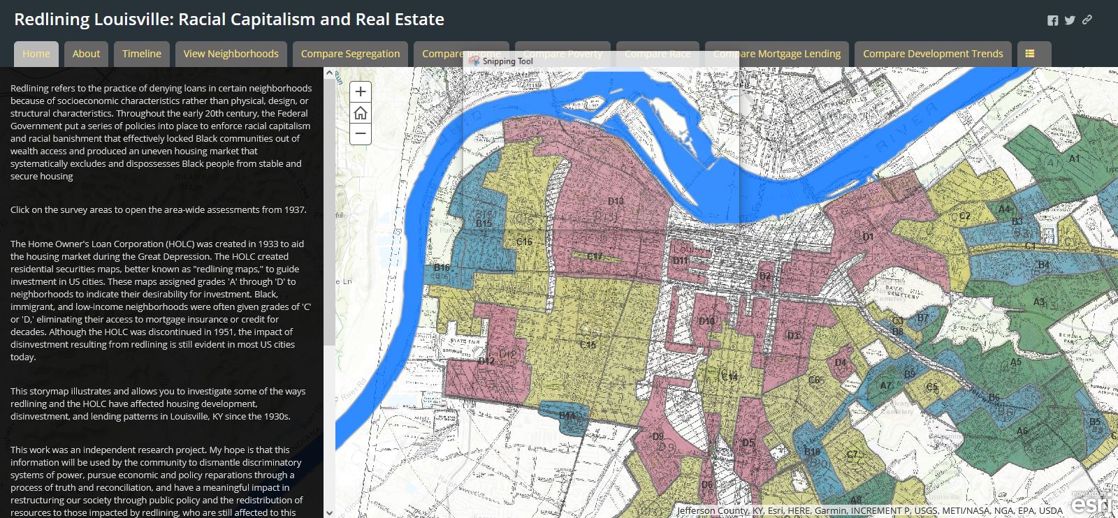
Redlining Louisville: Racial Capitalism and Real Estate
Louisville Metro
Click here to view this story map
Picture
Archaeological Sites in Kentucky
Scott Dobler
Click here to view this story map
Picture
Advancing Structure-Based Risk
FEMA Region 4
Click here to view this story map
Picture
Kentucky Water Mapping
Kentucky Division of Geographic Information
Click here to view this story map
Picture
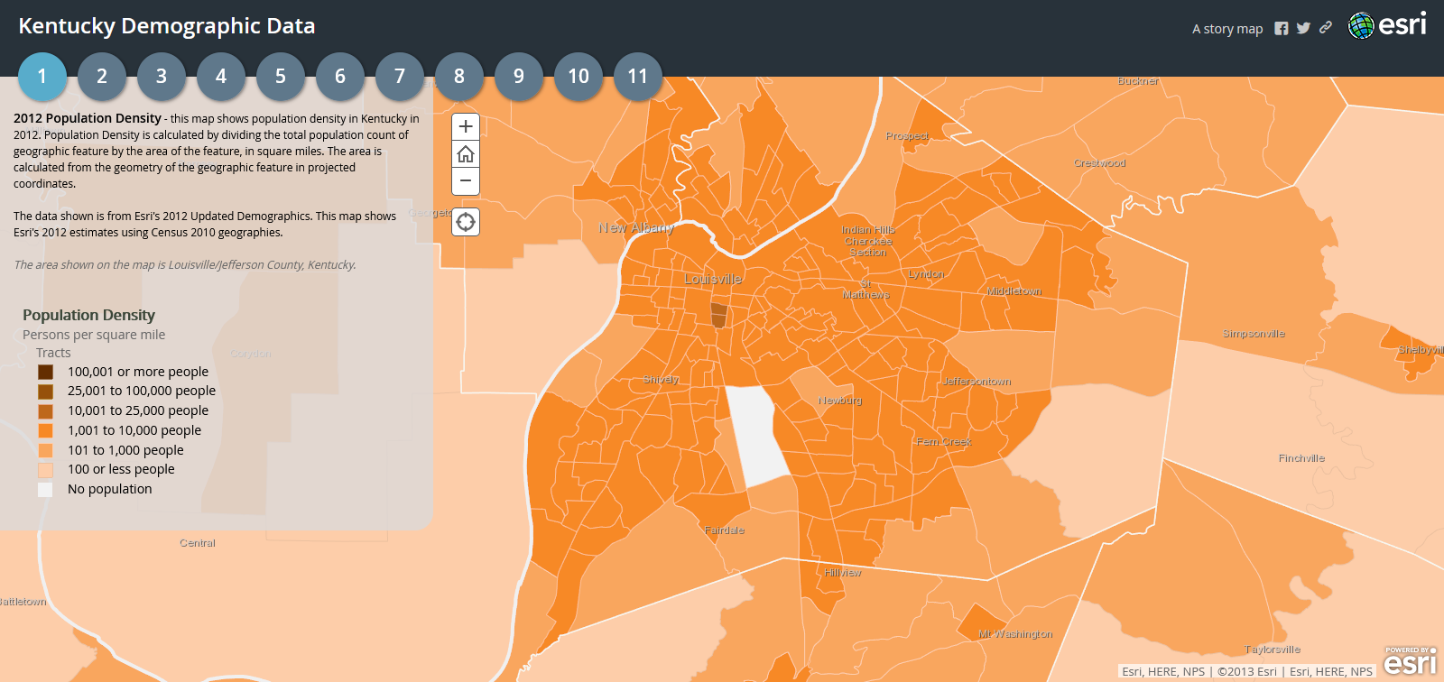
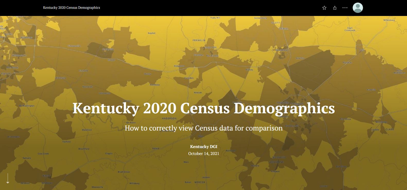
Kentucky 2020 Census Demographics
Kentucky Division of Geographic Information
Click here to view this story map
Picture
Famous Thoroughbred Farms of Kentucky
Christina Hoddinott
Click here to view this story map
Picture
Kentucky Levee Projects
KY Risk Maps
Click here to view this story map
Picture
Kentucky Energy Dashboard
Kenya Stump
Click here to view this story map
Picture
Kentucky Civil War Sites for Kentucky Educators
KGA GIS
Click here to view this story map
Picture
KYTC - Environmental Overview
Kentucky Transportation Cabinet
Click here to view this story map
Picture
See Louisville
USC Grad
Click here to view this story map
Picture
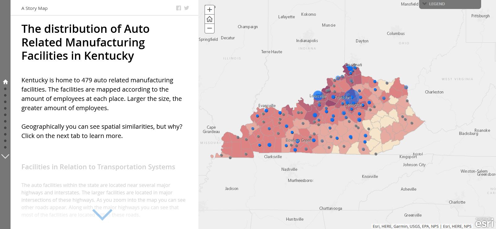
The Distribution of Auto Related Manufacturing Facilities in Kentucky
KGA GIS
Click here to view this story map
Picture
Kentucky Farming for the Future
Dale Booth
Click here to view this story map
Picture
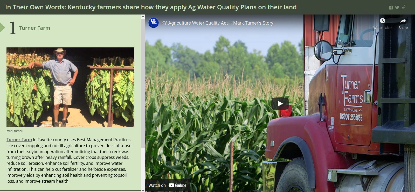
In Their Own Words: Kentucky Farmers Share How They Apply Ag Water Quality Plans on Their Land
Dale Booth
Click here to view this story map
Picture

Email

[email protected]
Join the KGA!