Geology Story map gallery
|
Hidden Landscapes: Potentially Vulnerable Communities in Kentucky's Karst Groundwater Region
Marissa Schorr, Patricia Kambesis, Chris Groves, Margaret Gripshover, Amy Hourigan, LeeAnne Bledsoe Click here to view this story map |
|
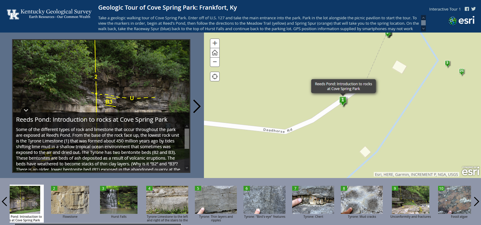
Geologic Tour of Cave Spring Park: Frankfort, KY
Kentucky Geologic Survey Click here to view this story map Kentucky Geological Survey: 2019-2020 Annual Report
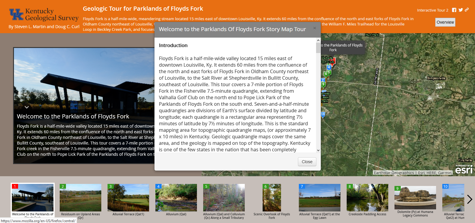
Kentucky Geological Survey Click here to view this story map Geologic Tour for Parklands of Floyds Fork, KY
Steven L. Martin and Doug C. Curl Click here to view this story map |
|
|
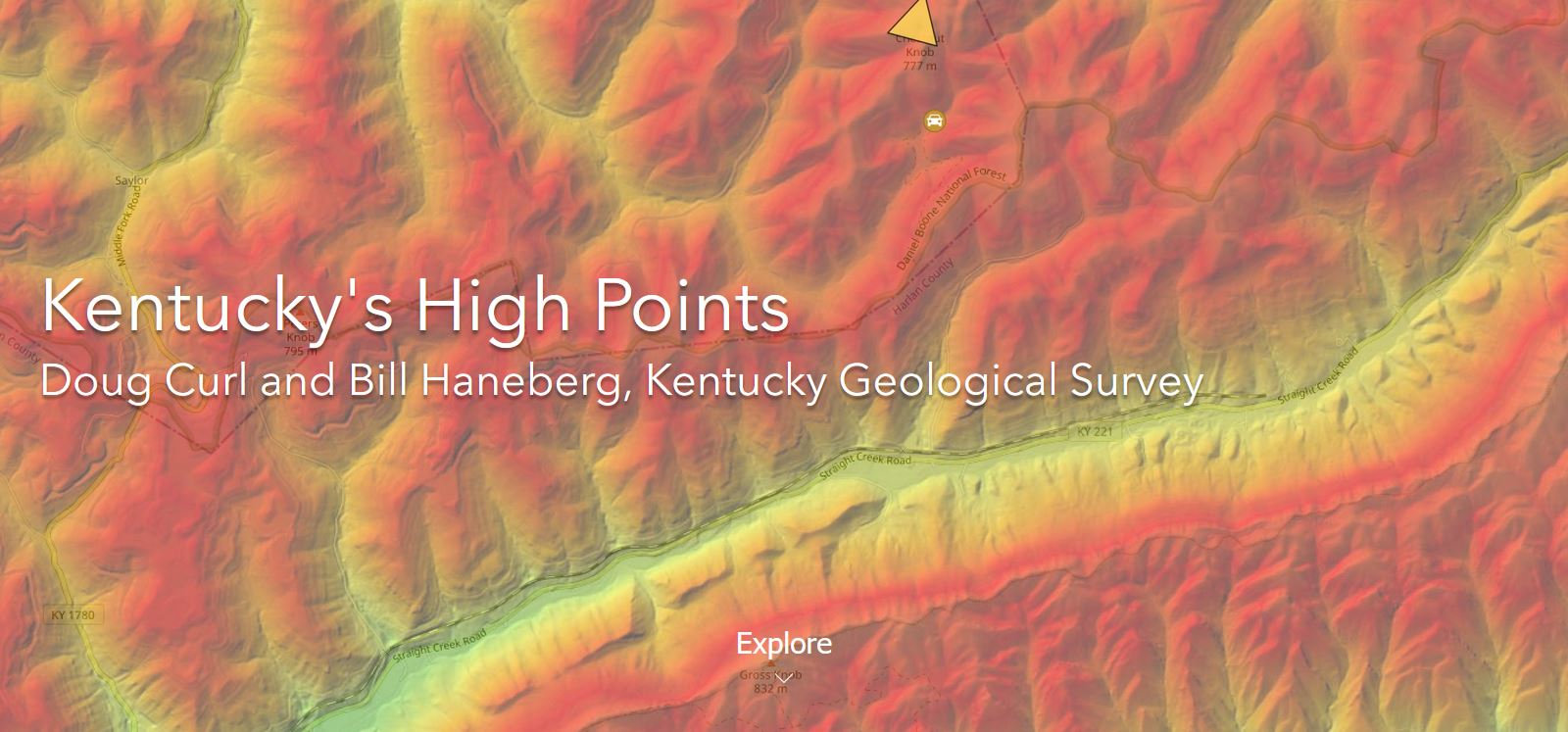
Kentucky's High Points
Doug Curl and Bill Haneberg, Kentucky Geological Survey Click here to view this story map |