KGA GIS Tutorials
These storymaps are part of the KGA's Geographer's Guide series. This series aims to highlight different aspects of storymaps.
The KGA's Geographer's Guide series is a series of Storymaps that explain, discuss, and provide examples of different aspects related to storymaps and geography.
The Geographer's Guide to Creating Storymaps
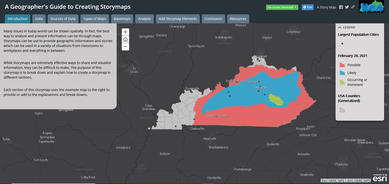
This storymap from the KGA discusses the process of creating a storymap. It provides an
overview of the required steps as well as an example for each step.
Click here to see the Storymap.
This storymap from the KGA discusses the process of creating a storymap. It provides an
overview of the required steps as well as an example for each step.
Click here to see the Storymap.
|
|
The Geographer's Guide to Creating Storymaps Video
This video from the KGA shows The Geographer's Guide to Creating Storymaps being presented. |
|
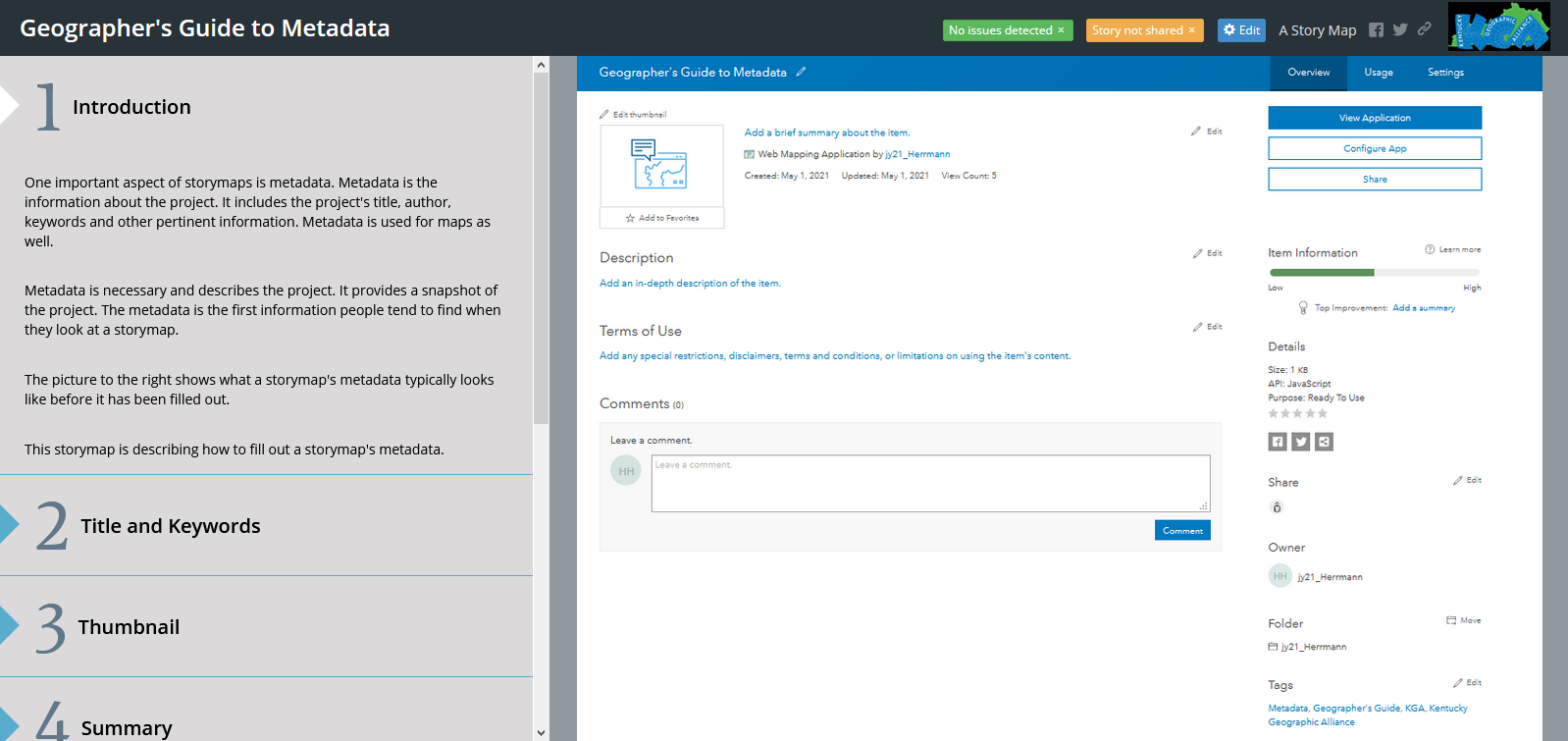
The Geographer's Guide to Metadata
This storymap from the KGA discusses the the sections of metadata. It provides brief information about each section as well as examples for each section. Click here to see the Storymap. |
|
|
The Geographer's Guide to Metadata Video
This video from the KGA shows The Geographer's Guide to Metadata being presented. |
|
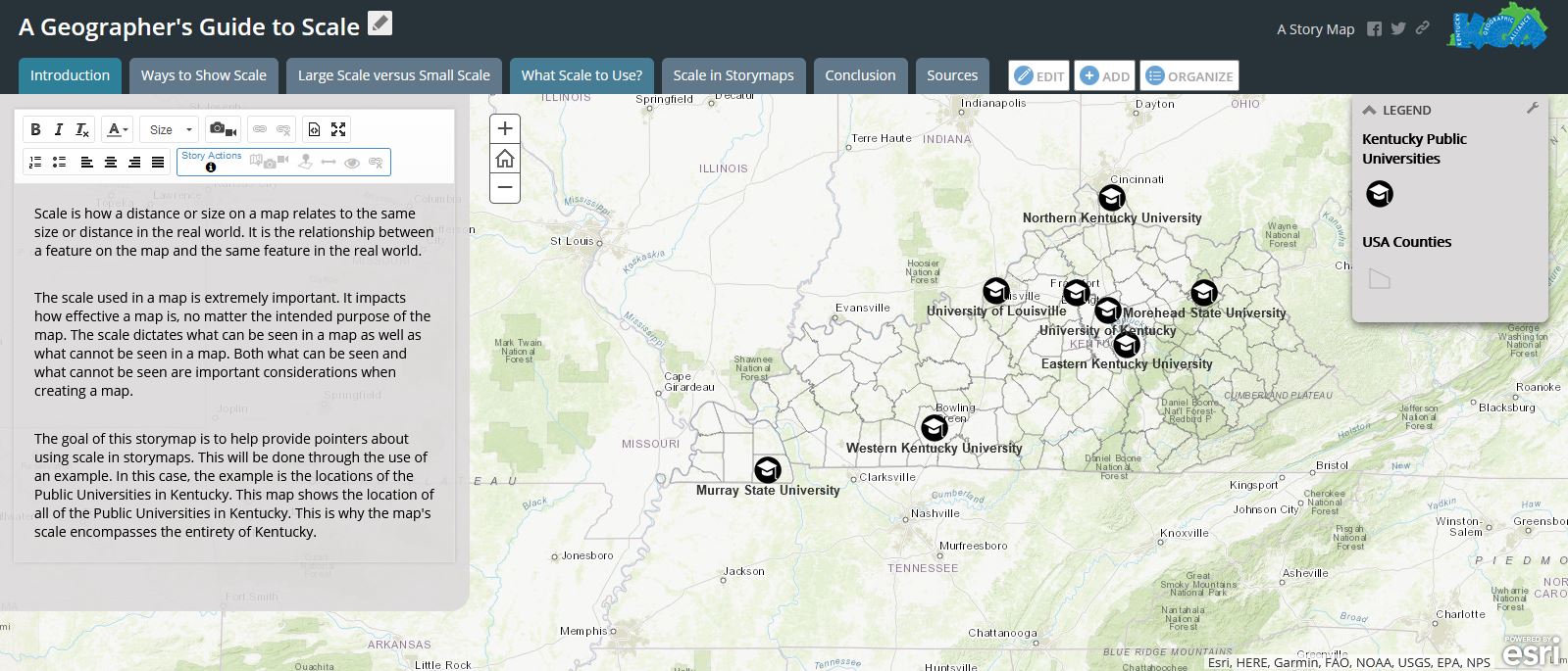
The Geographer's Guide to Scale
This storymap from the KGA discusses the use of scale in storymaps. It provides brief information about ways to present scale and what scale to use. Click here to see the Storymap. |
|
|
The Geographer's Guide to Scale Video
This video from the KGA shows The Geographer's Guide to Scale being presented. |
|
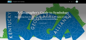
The Geographer's Guide to Symbology
This storymap from the KGA discusses how to properly symbolize geographic data in ArcGIS Online. Click here to see the Storymap. |
|
|
The Geographer's Guide to Symbology Video
This video from the KGA shows The Geographer's Guide to Symbology being presented. |
|
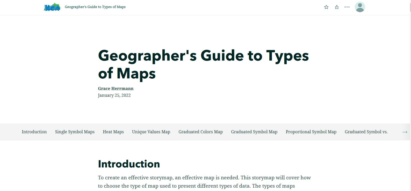
The Geographer's Guide to Types of Maps
This storymap from the KGA discusses eight commonly used types of maps. Click here to see the Storymap. |
|
|
The Geographer's Guide to Types of Maps Video
This video from the KGA shows The Geographer's Guide to Types of Maps being presented. |
|
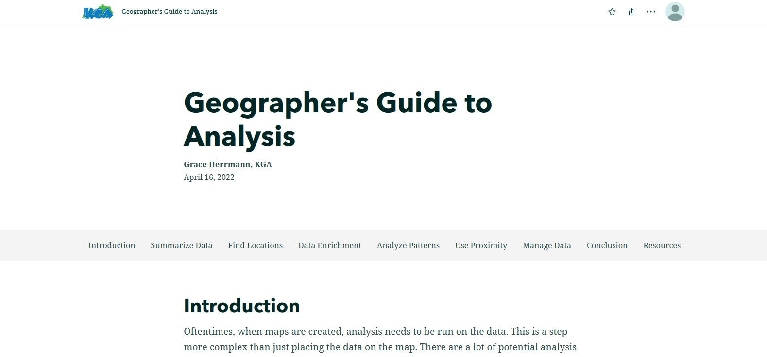
The Geographer's Guide to Analysis
This storymap from the KGA discusses the six analysis categories and the 29 tools contained within the categories. Click here to see the Storymap. |
|
|
The Geographer's Guide to Analysis Video
This video from the KGA shows The Geographer's Guide to Analysis being presented. |
|
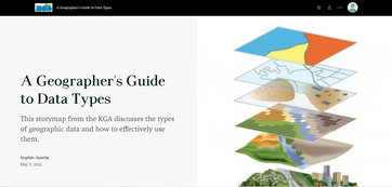
The Geographer's Guide to Data Types
This storymap from the KGA discusses the different types of data in GIS and how to effectively use them. Click here to see the Storymap. |